
OroraTech hits 20 satellites as thermal wildfire network scales fast
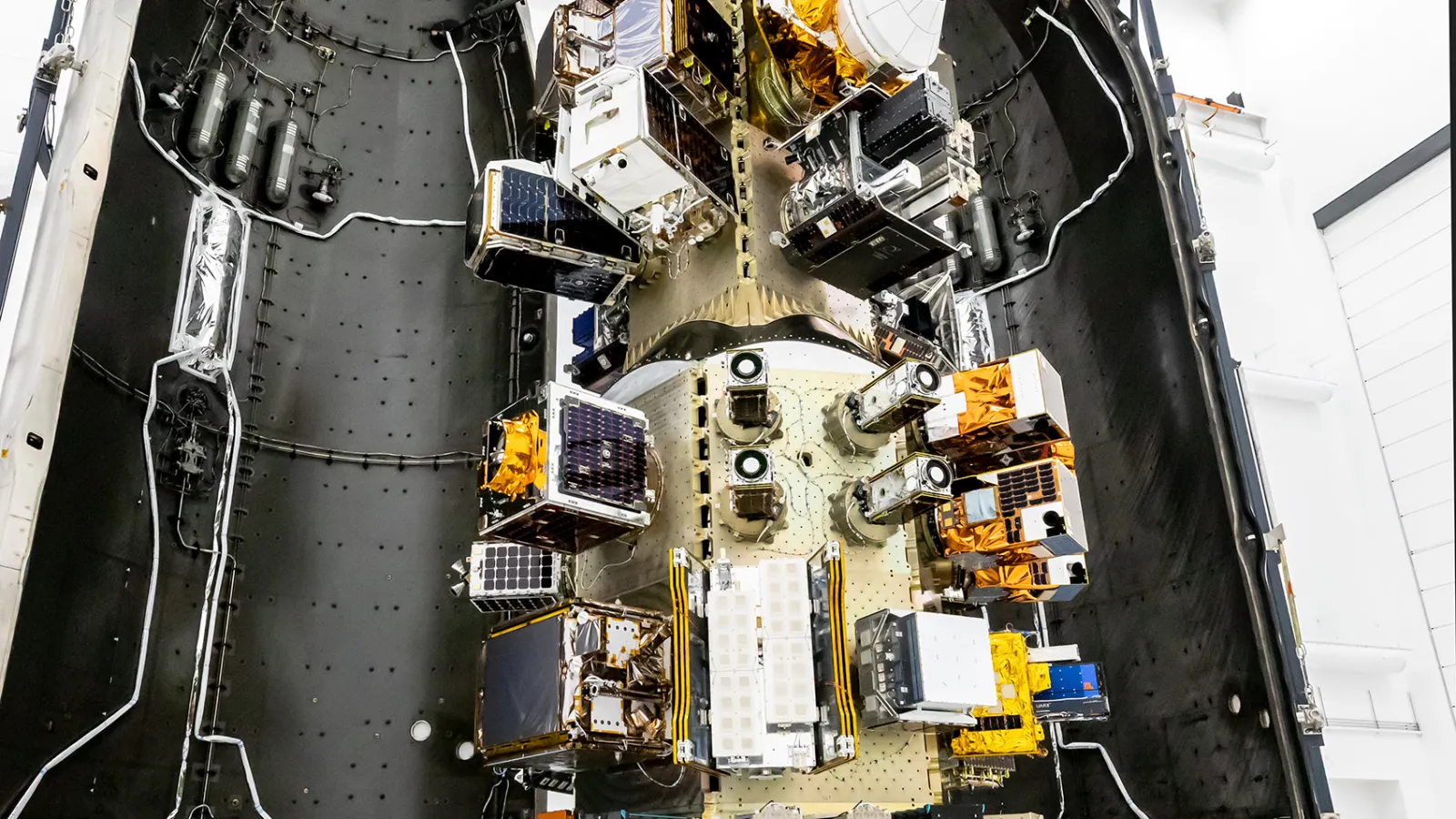
OroraTech, the Munich-based thermal intelligence company, has placed its twentieth satellite into orbit following the successful launch of FOREST-20 from Vandenberg Space Force Base in California. The milestone caps an 18-month deployment sprint in which the company has launched 18 thermal satellites, a cadence it says makes this the world's largest satellite network dedicated to wildfire management. The company says the growing constellation can now observe Earth from early morning through to late evening, reducing the latency between a fire igniting and ground teams receiving actionable data.
The addition of FOREST-20 fills a morning observation window that had previously been absent from the network. OroraTech's stated operational goal is straightforward: compress the time between an event occurring on Earth's surface and a human decision-maker learning about it. Thermal observations drawn from the full 20-satellite fleet feed directly into the company's Wildfire Solution platform, which synthesises detection, incident monitoring and condition-change data for emergency management customers. The same infrastructure also supports land surface temperature and sea surface temperature products, suggesting OroraTech is building a broader thermal intelligence franchise beyond pure wildfire response.
From mission launches to infrastructure deployment
The framing Ignacio Zuleta, OroraTech's Chief Technology and Product Officer, used to describe the programme is notable: "We are no longer launching individual missions, instead we are continuously deploying thermal infrastructure in space." That language reflects a broader shift in how the new generation of small-satellite operators thinks about their constellations. Where legacy earth-observation programmes were defined by discrete, years-apart missions, OroraTech is positioning its network as a living utility, where each additional node increases the resolution and frequency of a planet-scale sensing layer. Twenty satellites is, by the company's own framing, a waypoint rather than an end-state.
FOREST-20 will pass through a commissioning phase before becoming fully operational. Once it joins the active network, OroraTech's coverage will span an expanded daily observation window, with each satellite pass creating another opportunity to detect new thermal activity or track how an existing incident is evolving.
Cross-sector implications: climate risk meets infrastructure capital
The convergence angle here reaches well beyond the space sector. As climate-driven wildfire seasons lengthen across North America, southern Europe, and Australia, the economic exposure is spreading upwards into insurance and reinsurance underwriting, utility grid-resilience planning, and agricultural commodity pricing. A persistent, near-real-time thermal sensing layer of the kind OroraTech is building becomes input data not just for firefighters but for parametric insurance models, carbon credit monitoring programmes, and sovereign climate-risk assessments.
That macro context is beginning to attract capital from beyond traditional space venture. Climate-tech funds, infrastructure investors and sovereign entities managing physical-risk portfolios are increasingly evaluating satellite-derived environmental data as a foundational layer, analogous to GPS or weather modelling, rather than as a niche remote-sensing product. OroraTech's intelligence-as-a-service model, in which customers consume thermal data through a platform rather than procuring satellite assets, fits the recurring-revenue structures those investors favour.
The competitive landscape is thickening. Planet Labs, Satellogic, and a clutch of SAR (synthetic aperture radar) operators are all expanding revisit rates for earth-observation data, while defence and intelligence agencies on both sides of the Atlantic are funding thermal and hyperspectral sensing programmes for dual-use applications. OroraTech's wildfire-specific focus gives it a defined customer base and a clear value proposition in a market where general-purpose imagery is becoming commoditised. Whether that specialisation protects margins as larger, better-capitalised platforms add thermal capability to their own constellations is the strategic question investors will be pressing the company to answer as it moves toward its next funding milestone.
For cross-sector capital allocators, the more durable signal may be structural: thermal data at planetary scale, updated continuously, is becoming a commodity input for climate adaptation across insurance, agriculture, utilities and sovereign risk management. The satellite infrastructure that delivers it is, in that reading, less a space story than a climate-risk data infrastructure story.