
OroraTech satellite network completes Arkansas wildfire pilot
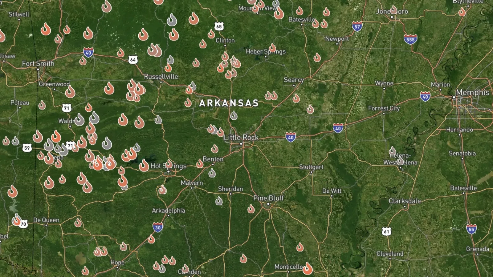
OroraTech, the German-founded satellite thermal intelligence company, has concluded a pilot programme with the Arkansas Department of Agriculture's Forestry Division, marking one of the more substantive public-sector deployments of space-based wildfire detection in the United States. The trial extended the traditional use case of thermal satellites well beyond simple ignition detection, applying historical orbital data to arson investigations, post-incident crew safety analysis, and prescribed-burn perimeter monitoring.
The Arkansas case matters beyond state forestry circles because it illustrates a structural shift in how governments are beginning to procure earth-observation services: not as a supplementary layer on top of existing aerial infrastructure, but as a cost-effective replacement for it.
From aircraft to orbit
The Forestry Division's current aerial fleet is ageing sharply, with its newest aircraft dating to 1979. Maintenance costs for that hardware are significant and recurring. Wesley McKinney of the Forestry Division put the trade-off plainly: aircraft catch between four and seven per cent of fires at an early stage, while satellites offer comparable detection at lower operating cost. OroraTech says its detection rates will improve further as the company launches additional thermal satellites through this year and into the next decade.
That scaling trajectory is material. A single state forestry agency switching from aircraft to satellite coverage represents modest revenue for a space-data provider, but the pattern, replicated across US states and equivalent agencies in Australia, Brazil, Canada and southern Europe, represents a durable procurement shift. OroraTech already operates in all those geographies. The company describes itself as running the world's largest satellite network dedicated to wildfire management, though that claim sits in a competitive field that includes Planet Labs, Satellogic and a growing number of dual-use defence-and-environment constellations.
Crew safety and the case for data-led risk transfer
The operational detail that will resonate most with risk managers and insurers is the post-incident analysis from the 2025 Pond Fire, in which four crew members survived a burn-over event. OroraTech's thermal data reconstructed the fire's behaviour, identifying an unseen escaped spot fire that had trapped the crew between two fire bodies. That kind of forensic reconstruction was previously available only through manual investigation.
"We expose our people to high-risk environments every day," McKinney said. "We want to transfer as much of that risk as possible away from our crews and onto technology like satellites."
The convergence angle here runs in two directions. First, the safety and liability calculus for state forestry agencies is shifting: real-time and historical satellite data now creates an evidentiary record that can support both operational decisions and legal proceedings, as the Arkansas arson prosecution cases illustrate. Second, the broader climate-risk insurance market is watching. As wildfire seasons lengthen and intensify across the western United States, the Gulf states and southern Europe, parametric insurance products and sovereign catastrophe bonds increasingly depend on granular, independently verifiable fire-behaviour data. Space-based thermal intelligence is becoming infrastructure for that market, not merely a tool for fire commanders.
Capital and convergence outlook
OroraTech sits at the intersection of the space economy, climate resilience infrastructure and public-sector procurement modernisation. The company's expansion from Germany into the US, Australia, Brazil, Greece and Canada tracks the geography of worsening wildfire risk, and the Arkansas pilot signals that mid-tier US state agencies, not just federal bodies or large utilities, are now willing buyers.
The next signals to watch are whether the Forestry Division formalises a long-term contract beyond the pilot, and whether the planned public evacuation alert system and software dispatch integrations OroraTech mentions are procured under a broader state technology budget or funded through federal disaster-preparedness grants. Either route would confirm that satellite-based fire intelligence is migrating from experimental procurement to baseline infrastructure, with implications for aerospace prime contractors, reinsurers pricing wildfire exposure, and the broader cohort of earth-observation start-ups seeking to replicate this public-sector land-and-expand model.