
EarthDaily wins $3m NASA order to weave commercial data into Landsat
EarthDaily, the Minnesota-based Earth intelligence company, has secured a $3 million task order from NASA to test whether its commercial satellite constellation can be formally integrated with the Landsat programme, the joint NASA-USGS land-imaging system that has produced a continuous scientific record of the planet's surface for more than half a century. The contract places EarthDaily's data under rigorous Landsat-grade evaluation, covering calibration, radiometric and geometric performance, atmospheric correction, and compatibility with long-established government processing workflows.
The award sits within NASA and USGS's Sustainable Land Imaging commercial transition initiative, which is examining how commercially operated assets can complement federal systems without breaking the scientific continuity that has made Landsat irreplaceable for climate research, agricultural monitoring, and disaster response.
From archive to AI foundation model
The timing of the contract is not incidental. Earth observation data is rapidly becoming one of the primary training substrates for geospatial AI foundation models, and the quality of that substrate matters enormously. Models trained on Landsat's 50-year archive can detect long-run environmental change, deforestation rates, glacier retreat, urban heat-island expansion, with a degree of temporal fidelity that short-lived commercial datasets cannot replicate alone. EarthDaily's proposition is that its constellation, designed from the outset around consistent, comparable measurement rather than maximum resolution, can extend that record forward at higher revisit frequency.
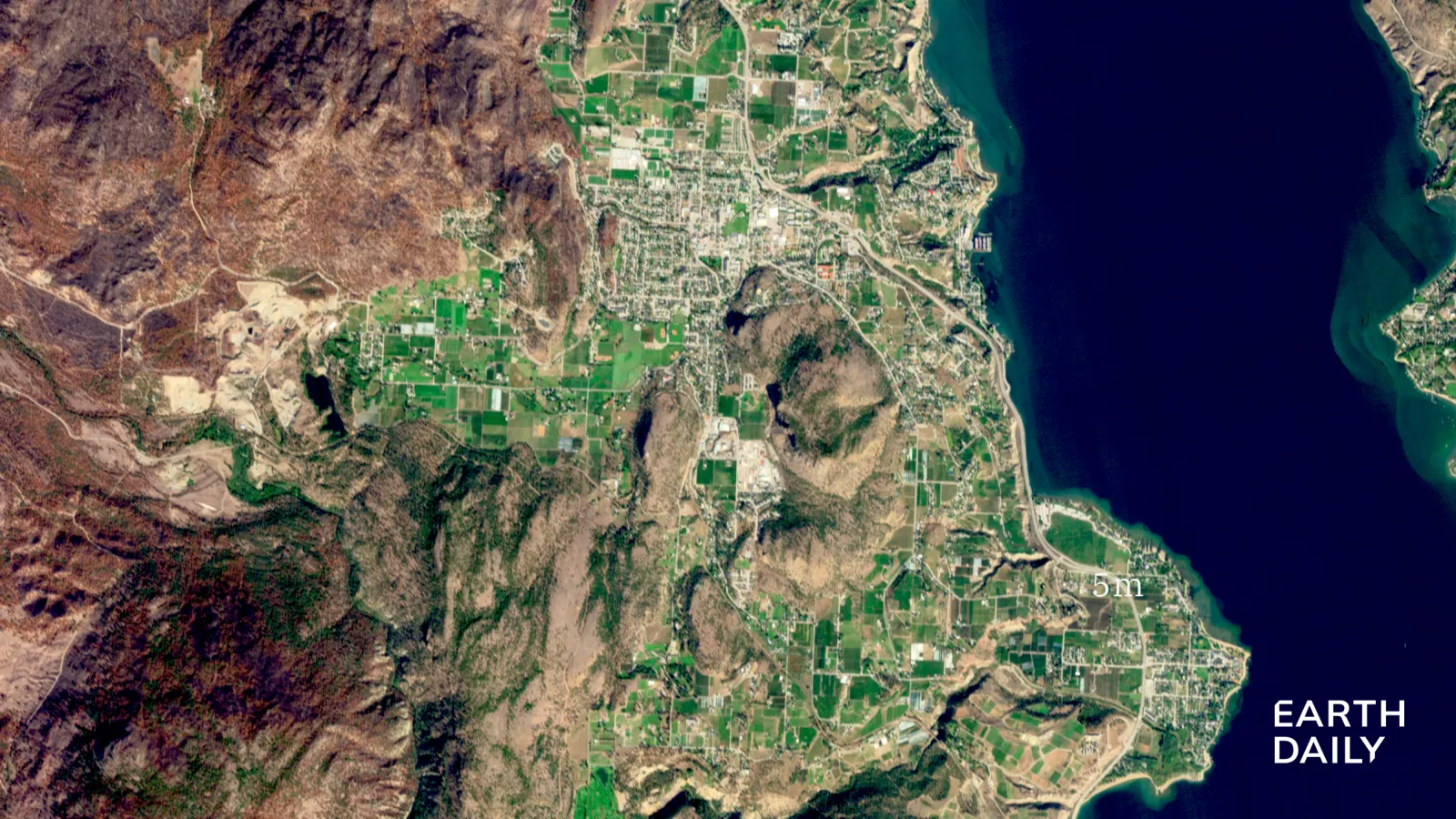
Eight of EarthDaily's ten planned satellites are now in orbit, delivering coverage of the entire global landmass every two days. At full operations the company says the constellation will image approximately 92% of Earth's landmass daily. Data is collected across 22 spectral bands, with a native 5-metre spatial resolution in the visible and near-infrared, finer than Landsat's 30-metre standard, while the sun-synchronous orbit mirrors Landsat's morning acquisition schedule, a deliberate design choice to support direct harmonisation between the two datasets.
CEO Don Osborne framed the contract in terms of measurement philosophy rather than technology competition: "To understand change, you first need measurements you can trust and compare over time. As Earth observation increasingly becomes an input to AI, that consistency becomes even more important."
The convergence play: space data meets enterprise AI
The broader strategic picture extends well beyond a single government evaluation contract. Earth observation is emerging as a critical input layer for sectors that have historically operated without satellite-grade data at scale. Agricultural insurers are beginning to price crop-loss risk dynamically using near-daily multispectral imagery. Mining and forestry operators are embedding change-detection analytics into operational risk workflows. Defence and national security agencies, named explicitly in EarthDaily's own capability list, are evaluating commercial constellations as persistent surveillance complements to classified systems.
In each of these verticals, the value of the data is gated by its scientific credibility. A commercial dataset that cannot be harmonised with Landsat's long-run archive cannot be used to train models that detect meaningful change against a historical baseline. That is why a NASA validation stamp carries strategic weight far beyond the $3 million contract value itself: it is, in effect, a quality certification that unlocks enterprise and government procurement pipelines across multiple industries simultaneously.
The capital landscape in commercial Earth observation has been contracting after a period of over-investment in constellation capacity. Several well-funded players, Planet, Satellogic, and Spire among them, have faced pressure to demonstrate that data revenue justifies constellation build costs. EarthDaily's approach, emphasising science-grade consistency over sensor novelty, is a deliberate differentiation. A successful Landsat harmonisation outcome would strengthen that positioning precisely as AI-driven demand for long-run, calibrated geospatial datasets begins to accelerate across agriculture, climate finance, and sovereign risk analytics.
The evaluation findings will be reviewed jointly by EarthDaily, NASA, and USGS scientists as work progresses. If EarthDaily data is ultimately validated against Landsat-aligned performance thresholds, the result could define a template for hybrid government-commercial mission architectures, a model with implications for how sovereign space agencies worldwide procure Earth observation capability in the coming decade.