Bezos Earth Fund backs $26m wildfire satellite constellation
The Bezos Earth Fund has committed $26 million to Earth Fire Alliance and its FireSat programme, backing what is described as the first satellite constellation purpose-built for global wildfire detection. The grant, the largest single philanthropic contribution to wildfire detection on record, will fund the launch and early operations of three satellites entering orbit this summer, joining existing support from Google.org and the Gordon and Betty Moore Foundation.
The investment sits at a compelling convergence point: space infrastructure, climate adaptation, and the data pipelines that underpin both insurance markets and sovereign land-management policy. It is not simply an environmental gesture. It is a statement about where frontier technology capital is being deployed as the economic cost of uncontrolled wildfire escalates.
From orbit to the fire line
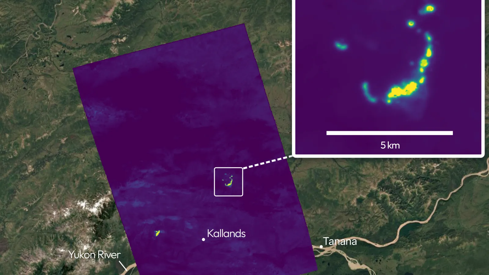
FireSat is designed and built by Muon Space, a California-based space systems company. The three initial satellites will provide wildfire monitoring at least twice daily over critical geographies, with particular focus on the Amazon Basin. By 2029, the constellation's detection threshold is targeted at fires as small as 15 feet by 15 feet, anywhere on Earth, within one hour of ignition. At full operational capacity in the early 2030s, a 50-satellite constellation would monitor every point on the planet every 20 minutes or less.
Tom Taylor, President and CEO of the Bezos Earth Fund, said the funding is focused on "advancing detection and prevention technologies that have incredible potential to better protect homes and communities, preserve forests and biodiversity, and reduce emissions." The programme's Early Adopter network already spans fire agencies in California, Colorado, Oregon, Texas, Africa, Australia, and Portugal, reflecting what Earth Fire Alliance frames as validated operational demand rather than speculative uptake.
The release cites a potential 5 to 10 per cent annual reduction in wildfire-driven CO2 emissions as full constellation coverage is achieved. That figure is a forward-looking projection and should be treated as such, but its scale illustrates why the asset class of climate-infrastructure satellites is attracting philanthropic capital at grant sizes that increasingly resemble early-stage venture rounds.
The convergence angle: space meets climate finance
The strategic significance here extends well beyond fire suppression. Wildfire risk is now a material variable in property insurance pricing, sovereign bond ratings for forest-heavy economies, and carbon-credit integrity. The voluntary carbon market has been plagued by questions about whether avoided-deforestation credits reflect real outcomes; near-real-time satellite fire data of the kind FireSat promises could provide independent verification infrastructure that the market badly needs.
For investors and policymakers tracking the intersection of space and climate, FireSat is an early indicator of a broader pattern. Sovereign wealth funds, large philanthropies, and climate-focused institutional capital are increasingly funding the orbital layer of Earth observation as a shared utility, rather than leaving it entirely to commercial remote-sensing operators such as Planet Labs or Satellogic. That hybrid model, non-profit constellation ownership with data made freely available to fire agencies and scientists, could reshape how public-good infrastructure is financed in adjacent domains: flood monitoring, agricultural drought early-warning, and methane-leak detection from oil and gas infrastructure.
The launch timeline is immediate. With three satellites entering orbit this summer and a credible roadmap to 50, FireSat will generate a longitudinal wildfire dataset within a decade that has no current equivalent. The questions worth watching are whether that data architecture becomes a global public good, how it is governed across jurisdictions with competing land-use interests, and whether the model attracts sovereign co-investment as the programme scales. A constellation that can detect a beach bonfire from orbit within minutes of ignition is, in the end, also a dual-use surveillance asset, and the regulatory and geopolitical dimensions of that capability will surface long before the early 2030s full-operational milestone.